ISRO Chairman S Somanath said the success gave the space agency “greater confidence,” as the GSLV will be next deployed in the NISAR mission, a collaborative effort with the US’ NASA

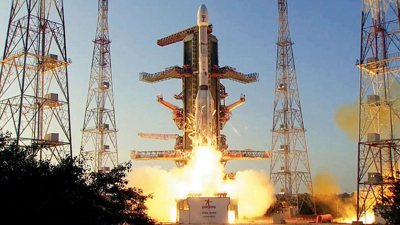
The successful launch of the INSAT-3DS meteorological satellite. Pic/PTI
Moving ahead on its mission to study the Earth and ocean surfaces, ISRO on Saturday successfully launched its next generation weather observation satellite INSAT-3DS onboard a GSLV rocket into a precise orbit. The flawless mission prompted the ISRO to virtually heave a sigh of relief over the challenging GSLV rocket technology, as the director of today’s mission said the “naughty boy has matured into an obedient, disciplined boy,” apparently referring to its past unsuccessful missions.
ISRO Chairman S Somanath said the success gave the space agency “greater confidence,” as the GSLV will be next deployed in the NISAR mission, a collaborative effort with the US’ NASA. The INSAT-3DS satellite, weighing 2274 kg is a follow-on mission of the third-generation meteorological satellite to be placed in a geostationary orbit and is funded by the Ministry of Earth Sciences.
The objective of the mission is to provide continuity of services to existing operational INSAT-3D (launched in 2013) and INSAT-3DR (September 2016) for enhanced meteorological observations, monitoring of land and ocean surfaces, weather forecast and disaster warning, as well as to provide satellite aided Search and Rescue Services (SAR) among others.
At the end of the 27.5-hour countdown, the nearly 52-metre-tall GSLV-F14 lifted-off majestically from the second launch pad at this spaceport here, at a pre-fixed time of 5.35 pm. The three-stage rocket with a cryogenic upper stage, after a flight of about 20 minutes, got separated from the vehicle as planned and placed the satellite into a Geosynchronous Transfer Orbit.
Later, scientists at ISRO would undertake a series of manoeuvres to place the satellite into the geo-stationary orbit in the coming days. The rocket carries imager and sounder payloads, data relay transponders, satellite aidedR transponders which would be used to study cloud properties, fog, rainfall, snow cover and depth, fire, smoke, land and ocean among others.
This story has been sourced from a third party syndicated feed, agencies. Mid-day accepts no responsibility or liability for its dependability, trustworthiness, reliability and data of the text. Mid-day management/mid-day.com reserves the sole right to alter, delete or remove (without notice) the content in its absolute discretion for any reason whatsoever
 Subscribe today by clicking the link and stay updated with the latest news!" Click here!


