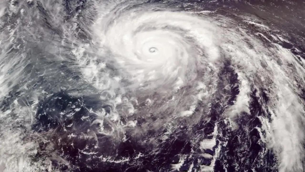
The low-pressure area over the Southeast Bay of Bengal and adjoining South Andaman Sea became a well-marked low-pressure area on Tuesday, India Meteorological Department (IMD) said in a bulletin

Representative image/iStock
The low-pressure area over the Southeast Bay of Bengal and adjoining South Andaman Sea became a well-marked low-pressure area on Tuesday, India Meteorological Department (IMD) said in a bulletin.
ADVERTISEMENT
"The low-pressure area over the Southeast Bay of Bengal and adjoining South Andaman Sea has become a well-marked low-pressure area over the same region at 0530 IST today, the 9th May 2023. It is very likely to intensify into a depression by today evening over the same region," an official statement said.
IMD further mentioned that it might intensify into cyclonic storm Mocha by May 10.
Also Read: Mumbai: City to see light showers, thunderstorms today, informs IMD
"It may intensify into a cyclonic storm over the southeast Bay of Bengal and adjoining areas of East Central Bay of Bengal and the Andaman Sea on 10th May. It is likely to move initially N-northwestwards till 12th May morning. Thereafter, might recurve gradually and move N-northeastwards towards the Bangladesh-Myanmar coasts," the statement said.
Earlier, West Bengal Chief Minister Mamata Banerjee on Monday said that people do not need to fear the cyclone as the state government is equipped to handle the situation.
"No need to fear the cyclone. If there come different circumstances, we will rescue people from coastal areas as the cyclone will move to Bangladesh and then Myanmar," CM Banerjee said.
This story has been sourced from a third party syndicated feed, agencies. Mid-day accepts no responsibility or liability for its dependability, trustworthiness, reliability and data of the text. Mid-day management/mid-day.com reserves the sole right to alter, delete or remove (without notice) the content in its absolute discretion for any reason whatsoever.
 Subscribe today by clicking the link and stay updated with the latest news!" Click here!


