On the other hand, a well-marked low-pressure area (WMLPA) over north Jharkhand and Bihar brought in very heavy rainfall over large parts of Gangetic belt on Thursday

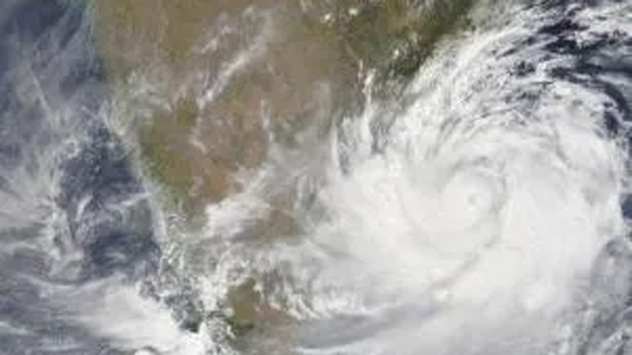
Photo for representational purpose. Pic/AFP
The depression over Arabian Sea is moving westwards, away from the Indian coast but continued to batter coastal Gujarat and Maharashtra with heavy rainfall.
ADVERTISEMENT
On the other hand, a well-marked low-pressure area (WMLPA) over north Jharkhand and Bihar brought in very heavy rainfall over large parts of Gangetic belt on Thursday.
"The depression over northeast Arabian Sea & adjoining Kutch moved westwards and lay centred over northeast Arabian Sea off Gujarat coast, about 60 km west-northwest of Devbhoomi Dwarka (Gujarat), 280 km east-southeast of Karachi (Pakistan) and 860 km east-southeast of Chabahar Port (Iran) on Thursday morning. It is very likely to move west-northwestwards and intensify into a deep depression over northeast Arabian Sea off north Gujarat coast during night," the IMD said in a release.
"Then it is very likely to move further west-northwestwards and intensify into a Cyclonic Storm during the subsequent 24 hours. Thereafter, it is likely to continue to move west-northwestwards close to Pakistan's Makran coasts, moving away from the Indian coast," it said.
Saurashtra and Kutch are likely to see reduction in rainfall from Friday onwards.
This is a remnant of cyclonic storm Gulab that had originated in the Bay of Bengal and traveled westwards across central Indian states dropping more than abundant rainfall on route.
Under the influence of the WMLPA over north Jharkhand & adjoining Bihar and its remnant, fairly widespread to widespread rainfall with isolated heavy rainfall is very likely over Bihar and sub-Himalayan West Bengal and Sikkim till October 3.
Very heavy rainfall is also likely over Bihar on October 2, sub-Himalayan West Bengal and Sikkim on both October 2 and 3 and extremely heavy falls (over 20 cm) are very likely at isolated places over Bihar on Friday, the IMD said.
Due to easterly trough, rainfall activity is very likely to increase over south peninsular India from Friday with fairly widespread to widespread rainfall with heavy falls over Tamil Nadu, Kerala, and coastal and south interior Karnataka between October 1 to 4.
Fishermen have been advised not to venture into north and adjoining central Arabian Sea and along and off Gujarat and north Maharashtra coasts from till October 2, the IMD release said.
This story has been sourced from a third party syndicated feed, agencies. Mid-day accepts no responsibility or liability for its dependability, trustworthiness, reliabilitsy and data of the text. Mid-day management/mid-day.com reserves the sole right to alter, delete or remove (without notice) the content in its absolute discretion for any reason whatsoever
 Subscribe today by clicking the link and stay updated with the latest news!" Click here!


