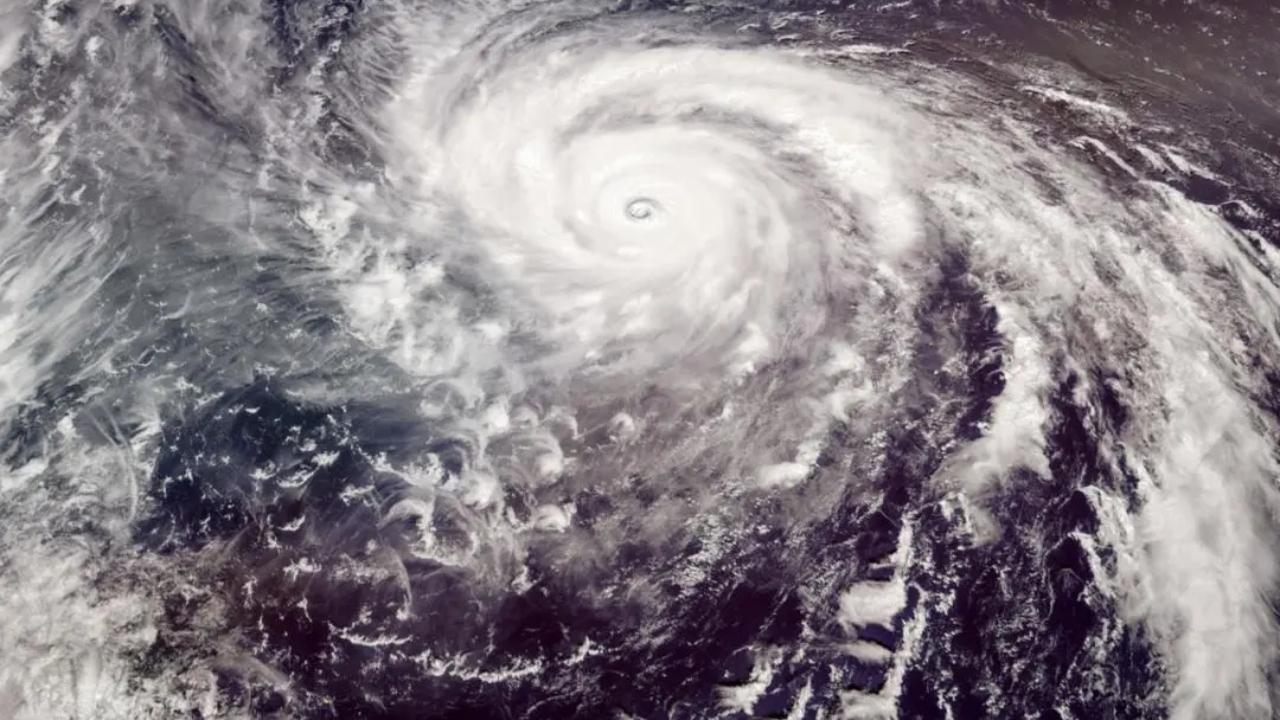
The system moved west-northwestwards with a speed of 5 kmph and lay centred at about 540 km west-southwest of Port Blair, 1,460 km south-southwest of Cox's Bazar (Bangladesh) and 1,350 km south-southwest of Sittwe (Myanmar), the bulletin said

Image used for representational purpose. Pic/iStock
The depression over the southeast Bay of Bengal on Wednesday intensified into a Deep Depression and lay centred in the same region, IMD said in a bulletin.
The system moved west-northwestwards with a speed of 5 kmph and lay centred at about 540 km west-southwest of Port Blair, 1,460 km south-southwest of Cox's Bazar (Bangladesh) and 1,350 km south-southwest of Sittwe (Myanmar), the bulletin said.
"It is very likely to move northwestwards for some time and then north-northwestwards and intensify gradually into a cyclonic storm over the same region around today evening," the IMD said.
Also read: Cyclone Mocha: Storm brewing in southeast Bay of Bengal, likely to intensify
Later, the weather office said, then continuing to move north-northwestwards, the system will gradually intensify further into a severe cyclonic storm by May 11 morning and a very severe cyclonic storm by May 12 morning over southeast and adjoining central Bay of Bengal.
Thereafter, it is likely to re-curve gradually, move north-northeastwards and weaken slightly from May 13 and cross southeast Bangladesh and north Myanmar coasts between Cox's Bazar (Bangladesh) and Kyaukpyu (Myanmar) around the forenoon of May 14, with maximum sustained wind speed of 110-120 kmph gusting to 130 kmph.
This story has been sourced from a third party syndicated feed, agencies. Mid-day accepts no responsibility or liability for its dependability, trustworthiness, reliability and data of the text. Mid-day management/mid-day.com reserves the sole right to alter, delete or remove (without notice) the content in its absolute discretion for any reason whatsoever.
 Subscribe today by clicking the link and stay updated with the latest news!" Click here!


