


Tapping into the evolved utility of maps which lie at the intersection of social and cultural location, an informative text on Maharashtra explores new avenues of education

The colourful map lists out natural features, wildlife and vegetation, and crafts and monuments, among other details. Pics/Atul Kamble
How can a thin, eight-page book celebrate the wonders of India’s third largest state? A state large enough to house at least 20 different languages. How can it blend cartography and art to effect critical ecological thought? More importantly, can a map delightfully list out varying markers of a region—from natural bounties, vegetation patterns and biodiversity to sources of irrigation, modes of transport, art exploits and humble crafts such as beedi and chappal-making?
Eklavya, a non-profit for children, clinches all of the above for this state, in an attractive publication under their nature-society series. It’s simple and beautiful. We could only respond with these two qualifiers on glancing through the book for the first time. Having pored over the map for hours and matched monuments, bridges and sloth bears to specific sites, we know that the efforts that have gone into making it are anything but simple.
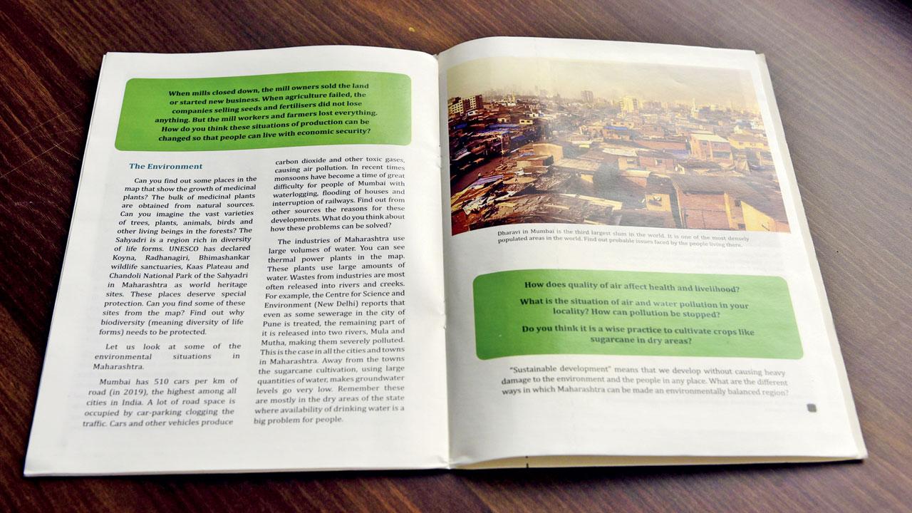
This educational text discuses economic security, and indicators of air and water pollution
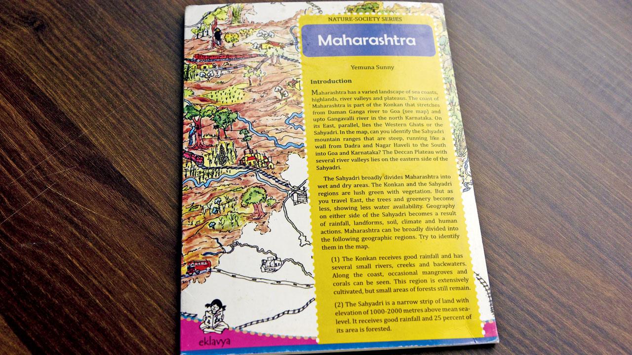
The cover offers a peek into the inside pages. A brief introduction by Yemuna Sunny introduces us to the varied landscape and diverse geography which can be attributed to natural factors such as rainfall, soil and climate, and some human actions, too. It’s especially comprehensive for non-natives. Sunny, who should be credited for the concept, methodology, cartography and geography in the text, mentions in her foreword that the book will nudge students to ask questions and seek solutions. As a pedagogic device, its intent varies from usual maps found in school textbooks.
The nuggets of knowledge are complemented by instinctive queries. We learn why Marathwada is dry and drought-prone, how did the Warkari tradition come into being, and the context to the Dalit movement. And we are also prodded to think if dry regions can grow sugarcane, if mill workers and farmers can enjoy economic security, and if we witness caste and gender-based inequalities decreasing in our lives.
Couched on the consciousness that maps can transcend rigid physical boundaries and touch our social selves, we proceed to the most appealing part of the volume—the folded map. We gape at the intricacies; chappal-making is practised in Kolhapur, beedis are tied in Pune and Ahmednagar, Gondia is called the rice city, the Durgapur Rayyatwari Collieries are close to Tadoba National Park, and a bridge connects Sangli to Satara. There’s no doubt that the edition is a powerful resource for young children, but it also makes adults miss the possibilities of a kinder and more thoughtful education system.
 Subscribe today by clicking the link and stay updated with the latest news!" Click here!


