Scientists note that the intensity of the cyclone depends not only on sea surface temperature but, more importantly, on the volume of warm water in the ocean

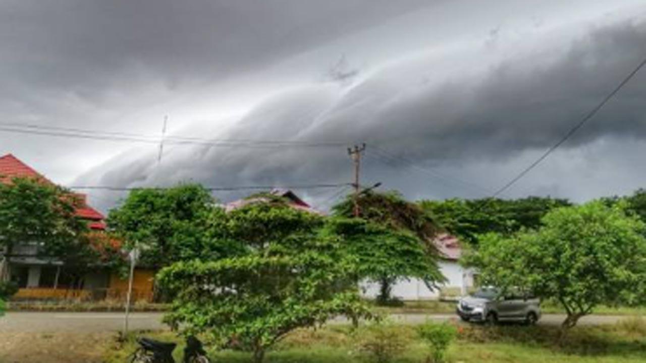
Image for representational purposes only. Photo Courtesy: iStock
Severe Cyclone Michaung over the Bay of Bengal has been causing extremely heavy rains over the coastal parts of north Tamil Nadu and adjoining south Andhra Pradesh during the last 48 hours.
ADVERTISEMENT
For the mayhem, scientists blame El Nino and the climate change multiplies storm’s impact.
Torrential and incessant rains have triggered flash flooding in Chennai, which has claimed at least eight lives and inundated several streets.
After bettering Tamil Nadu, Michaung is now all set to make landfall near Bapatla coast in Andhra Pradesh as a severe cyclonic storm any time now. The proximity of the coast will weaken the storm just before the landfall.
After that, it is most likely to recurve north-eastward over land, parallel to the coast. With this, it will keep proximity to the Bay of Bengal, which would continue to infuse moisture into the system.
This would help Cyclone Michaung sustain its strength for a few hours after hitting the coast, say climate experts.
However, even as a weakened depression and low-pressure area, moderate to heavy rains, accompanied by squally winds, are expected over Andhra Pradesh, Telangana, and Odisha in the next few days.
Michaung is the sixth storm of this year in Indian seas.
December is the peak month of the post-monsoon cyclone season, where most of the cyclonic storms usually head towards Tamil Nadu and south Andhra Pradesh.
While the formation of a tropical storm in the Bay of Bengal during December is very timely, the intensity of rains associated with the cyclone Michaung is not normal, say an expert.
Climate change multiplies impacts of cyclogenesis, he says.
The frequency and intensity of cyclones have increased manifolds owing to global warming. Ninety-three per cent of the heat is being observed by the oceans, and warm waters act as an energy source for cyclones.
Scientists note that the intensity of the cyclone depends not only on sea surface temperature but, more importantly, on the volume of warm water in the ocean.
According to a report, the increase in sea surface temperature could result in peak heavy rainfall in the tropical cyclone inner-core region, especially the rear sector.
Heavy rainfall areas extend to greater distances around the tropical cyclone centre.
The observed changes of tangential wind speed due to large sea surface enthalpy fluxes (rate of flow of heat energy) associated with ocean warming result in tropical cyclone size changes and then guide the cyclone to north-eastward movement.
Similar conditions were seen in Chennai, which saw incessant rains on December 3-4 as the dense cloud bands of cyclone Michaung hovered over the city.
“El Ninos usually peak around Christmas in December, a reason why they derive their name from the Spanish term for ‘little boy’. As oceans absorb more than 93 per cent of the additional heat from global warming, El Ninos are also getting stronger,” said Roxy Mathew Koll, Climate Scientist at the Indian Institute of Tropical Meteorology.
“They are not little boys anymore but monsters of the sea. Changes in ocean-cyclone interactions have emerged in recent decades in response to Indian Ocean warming and are to be closely monitored with improved observations since future climate projections demonstrate continued warming of the Indian Ocean at a rapid pace along with an increase in the intensity of cyclones in this basin.”
This story has been sourced from a third party syndicated feed, agencies. Mid-day accepts no responsibility or liability for its dependability, trustworthiness, reliability and data of the text. Mid-day management/mid-day.com reserves the sole right to alter, delete or remove (without notice) the content in its absolute discretion for any reason whatsoever
 Subscribe today by clicking the link and stay updated with the latest news!" Click here!


