As part of our series on smartphone usage, this week, we look at how to work around navigation systems on Android smartphones, including navigating without using your data connection

MAP
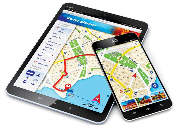
![]() Smartphones have made navigating simpler and easier. You no longer have to carry standalone GPS units while travelling. However, most built-in navigation apps, notably Google Maps in Android and Apple Maps in iOS, require an active data connection to function, as unlike traditional GPS devices, they download map on the fly. Google allows you to download maps up to 50kmx50km, which works within the city, but if you’re out of the country, on a roaming network, or on the city’s outskirts for a day-long trip, you might have to incur heavy data charges for usage. Thankfully, there are solutions to avoid data dependency while using map-based navigation systems. Here’s how:
Smartphones have made navigating simpler and easier. You no longer have to carry standalone GPS units while travelling. However, most built-in navigation apps, notably Google Maps in Android and Apple Maps in iOS, require an active data connection to function, as unlike traditional GPS devices, they download map on the fly. Google allows you to download maps up to 50kmx50km, which works within the city, but if you’re out of the country, on a roaming network, or on the city’s outskirts for a day-long trip, you might have to incur heavy data charges for usage. Thankfully, there are solutions to avoid data dependency while using map-based navigation systems. Here’s how:

Satellite navigation
Currently, there are five major satellite navigation systems (satnavs) in the world — US’s Global Positioning System (GPS), Russia’s Global Navigation Satellite System (GLONASS) and European Union’s Galileo are already operational, whereas China’s BeiDou and India’s Indian Regional Navigation Satellite System (IRNSS) are still under development. You need a satellite radio (commonly referred to as GPS due to the popularity of the American navigation system) to be able to connect and communicate with these satellites.
Mobile navigation: GPS vs A-GPS
Most smartphones have either a GPS or Assisted GPS (A-GPS) navigation system, or a combination of both. Phones with only GPS radio do not require data connection, as they connect directly with navigation satellites. However, phones with only A-GPS navigation require you turn on your phone’s data (active) and Wi-Fi connection, as they use the cellphone towers and nearby Wi-Fi hotspots to triangulate your location. Those with both can function with or without a data connection.

Try these apps for offline navigation
Enabling Location Services
>> Go to Settings, select Location.
>> If your phone runs on Android Lollipop, it will open a new window with a sliding button that turns on/off the location services. Turn it on to enable location services. Now, next in queue will be ‘Modes’. Once you select it, it will open a new window offering three modes notably — High Accuracy (connects with GPS, Wi-Fi and mobile networks; select it for faster navigation with data charges), Battery Saving (uses only Wi-Fi and mobile networks to determine location, is also known as A-GPS and gives approx location), and Device only (select it to use only GPS radio to determine location). The first and last modes are available only in phones with a GPS radio.
>> If your phone runs on the Android Jelly Bean OS, enable location services by selecting the option that says, “Allow apps that have asked permission to access location” under ‘Access Location’. Now, if your phone has a GPS radio, it will show GPS satellites under Location Sources. Turn it on. However, if it doesn’t, you will be required to select the second option, WLAN and Mobile Network Location, to enable A-GPS navigation. It’s only than that you will be able to use the built-in Google Maps app.
Using GPS-only navigation
After enabling GPS-only navigation, download navigation apps that allows you to store maps offline such as Nokia’s Here Maps (Here.com), Navmii (Navmii.com) and OsmAnd Maps & Navigation (Osmand.net). Navmii and OsmAnd use OpenStreetMaps for navigation.
>> Download the required maps, ideally your country or the country you plan to visit. However, if space is an issue, download a single state. All these apps allow at least one free map download.
>> Download the free voice guidance service for step-wise driving instructions. Navmii offers celebrity-voice-guidance at a premium price.
>> Also download maps of international waterways and other free maps available in the app. After the maps are downloaded, you can navigate offline.
To download these apps log on to Play.google.com
 Subscribe today by clicking the link and stay updated with the latest news!" Click here!


