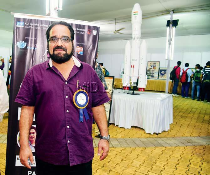
Two ISRO scientists attending a city tech-fest explain the technology behind the surgical strikes by India in Pak-Occupied-Kashmir


Ratan Singh Bisht says the satellite serves a multitude of purposes. Pic/Atul Kamble
ADVERTISEMENT
While the role of the military in a cross-border skirmish is paramount, equally important is the technology assisting them when in enemy territory. A stark example of that would be the CARTOSAT 2C, a satellite launched by ISRO in June this year that provided high-resolution pictures to the Indian Army and played a vital role in the successful surgical strike across the LoC yesterday.
“It’s a great achievement for us, the imagery produced by ISRO was used for the benefit of the nation, we couldn’t be more proud. Not just this, with the help of this satellite and the high-resolution camera, urban management, rural management and even illegal mining can be captured,” said ISRO scientist Ratan Singh Bisht. He was accompanied by retired ISRO scientist JP Joshi; both were part of the Mangalyan Mission.
How does the satellite work?
Based in ISRO, Ahmedabad, the scientists were in Mumbai for an Engineering tech-fest ‘Abhiyantriki’ held at Somaiya College.
Talking about satellites like CARTOSAT, which tend to provide crucial data of countries, Joshi, a former communication satellite scientist with ISRO, said, “There is a common understanding between countries over the world. If you are on a terrace, you can see everything, but if your parents tell you not to look into the neighbours’ homes, you won’t. These satellites are capable of viewing one third of the globe. Having said that, Pakistan is right at the border, and a satellite is like a torch, so it’s obvious that we can view their land. Area of Interest (AOI) is always known and defined in advance in such cases. As of now, Pakistan only has two such satellites, and those too are on hire from others.”
 Subscribe today by clicking the link and stay updated with the latest news!" Click here!


